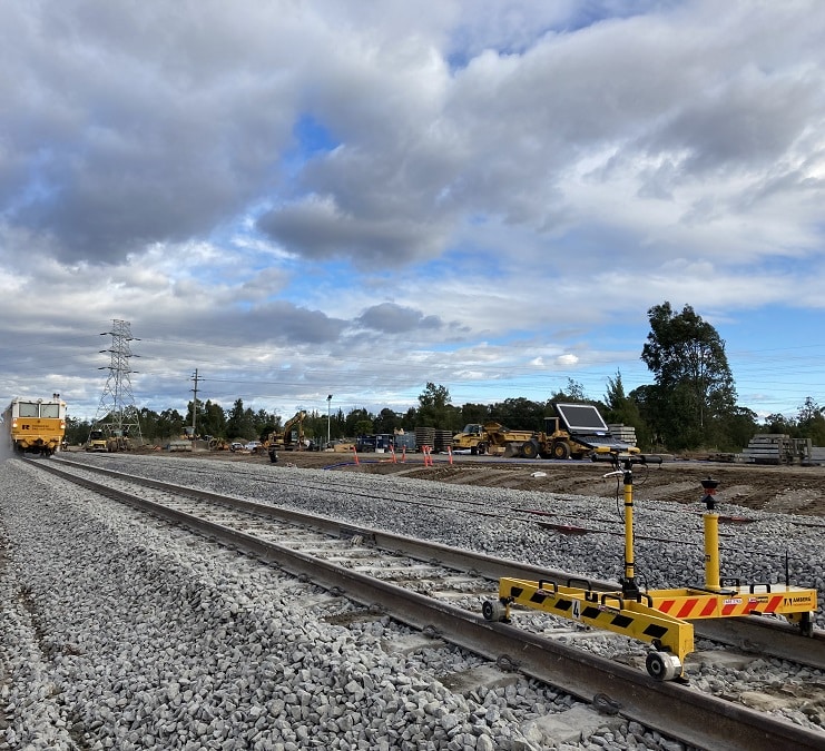
Recent Projects
Our expertise ensures you receive the very best and accurate survey solutions on every project you engage us on.
View Our ProjectsServices
Our surveyors specialise in aerial, engineering and hydrographic surveys, land development, laser scanning, mining services, spatial data management and analysis, as well as a range of specialist services. These surveying and scanning services include utility mapping, concrete scanning, dilapidation surveys, and monitoring.
We offer innovative geospatial solutions to meet your project requirements specialising in 3D reality capture, digital engineering, dilapidation services, engineering services, land development, mining services, monitoring, rail services, aerial mapping, utility mapping and surveying services in Brisbane, Perth, Melbourne, Sydney, and Darwin.
About Land Surveys
Established in 1997, Land Surveys has continued to grow and expand as one of the best surveying companies in Perth, Brisbane, Sydney, Melbourne and across Australia and overseas. We’ve grown to become an industry leader due to the demand for more comprehensive surveying services in today’s dynamic market.
With more than 400 professional land surveyors and committed staff throughout Australia, we provide full surveying services for our clients’ jobs and projects.
Our surveyors specialise in aerial, engineering and hydrographic surveys, land development, laser scanning, mining services, spatial data management and analysis, as well as a range of specialist services. These surveying and scanning services include utility mapping, concrete scanning, dilapidation surveys, and monitoring.
Established in 1997, Land Surveys has continued to grow and expand as one of the best surveying companies in Perth, Brisbane, Sydney, Melbourne and across Australia and overseas. We’ve grown to become an industry leader due to the demand for more comprehensive surveying services in today’s dynamic market.
With more than 400 professional land surveyors and committed staff, we provide full surveying services for our clients’ jobs and projects.
Our surveyors specialise in aerial, engineering and hydrographic surveys, land development, laser scanning, mining services, spatial data management and analysis, as well as a range of specialist services. These surveying and scanning services include utility mapping, concrete scanning, dilapidation surveys, and monitoring.
As one of Australia’s first choice construction and land surveying companies, our registered subdivision and land surveyors have all the solutions you need.
We have offices around Australia in Karratha, Port Hedland, Darwin, Brisbane, Sydney, Melbourne, our head office is based in Perth, as well as our Port Moresby office in Papua New Guinea. Our land surveyors also service Geelong in Victoria, as well as other regional cities and more remote areas around the country.
Check out our range of services above, and contact us today if you have any queries about a surveying solution for your next project.
