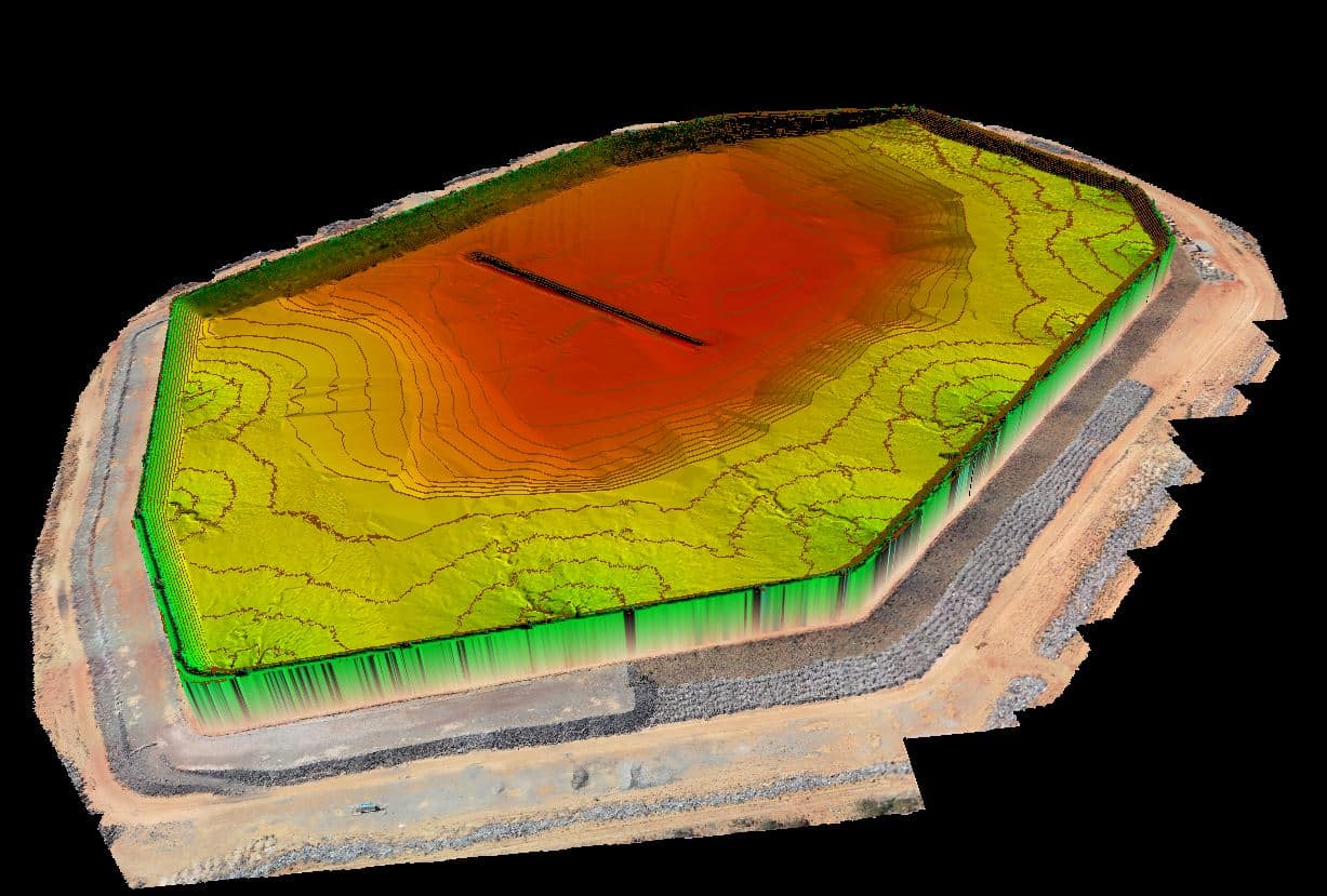
Hydrographic Surveys


What are hydrographic surveys?
Hydrographic surveys are undertaken to determine the depth of water bodies and their underlying topographies. By using a variety of geophysical sensors, these surveys also provide valuable information about debris or objects on the seabed or buried below the surface, or the thickness of sediment layers.
How do hydrographic surveys work?
Our hydrographic surveyors have access to a range of hydrographic survey sensors, platforms, state-of-the-art technology and software. This enables them to deliver exceptional, tailored data solutions to clients’ specific needs. The choice of survey systems is based on the scope of works, water depth, operating frequency, range from shore, specific accuracy requirements and seabed conditions. The size of vessel required for a survey can range from a large vessel for port and harbour surveys, to remotely controlled boats for dams or reservoirs or waterways that may be narrow or difficult to access.
Utilising hydrographic surveys
Hydrographic services can be optimally applied to:
- dams and rivers;
- ports and harbours;
- mine workings and infrastructure;
- marine environmental and benthic sediment surveys; and
- supporting marine construction activities including piling, pipe laying, and beach-pull landings.
Benefits of using hydrographic surveys
The advantages of utilising hydrographic surveys are numerous, but generally entail one or more of the following undertakings:
- seabed bathymetric (depth measurement) surveys and digital terrain models (DTM) for navigation assessment and under-keel clearance;
- support for dredging operations – before and after surveys, and volume calculations;
- determining sedimentation levels or thicknesses;
- seabed habitat mapping;
- geophysical surveying to determine seabed sub-structure and composition;
- seabed sampling and geotechnical analysis;
- determining seabed form and terrain;
- identifying seabed type, features, objects, debris and object detection; and
- shallow geophysical analysis – from 0m to 10m below the seabed.
What challenges can Land Surveys meet and solve with hydrographic surveys?
Land Surveys provides complete solutions for all of its clients’ project planning, data acquisition, processing and reporting needs for small and large-scale hydrographic surveys. Land Surveys is – and always has been an early adopter of the latest, proven technologies. And this means we’ve tried and tested workflows that allow our surveying teams to work smarter and more efficiently.
Survey systems and solutions that Land Surveys provides include:
- single-beam echo sounders (SBES) – single and dual frequencies;
- multibeam echo sounders (MBES);
- attitude and heading reference systems (AHRS);
- tide gauges;
- sound speed sensors and probes;
- side-scan sonars;
- sub-bottom profilers;
- real-time data acquisition systems – software and hardware; and
- laser scanners.
Why choose Land Surveys for your hydrographic survey requirements?
At Land Surveys we provide professional hydrographic, bathymetric and geographical survey services that encompass a broad range of hydrographic disciplines.
All hydrographic projects start with the end result in mind. We can guide you through the options for delivering your sounding data with integrated above-water surveying, mapping, geographic information system (GIS) and visualisation deliverables. And we will advise you on the best approach to meet your project’s quality, accuracy, time and cost goals.