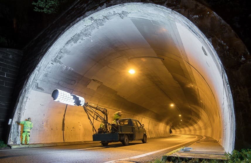
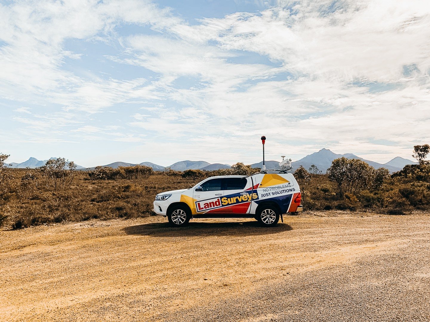
Mobile Laser Scanning & Mapping Systems

What is mobile mapping?

Mobile mapping entails the collection of geospatial data from [moving] mobile vehicles. These vehicles are typically fitted with sensors such as global navigation satellite systems (GNSS), light detection and ranging (LiDAR) and inertial movement units (IMU). These sensors are dimensionally integrated and time-synchronised to produce outputs such as point clouds, georeferenced images and video footage.

How mobile mapping works

Mobile mapping provides an unpatrolled surveying solution for infrastructure corridor mapping projects including roads, railway lines, powerlines, and pipelines. Mounted on a mobile platform, Mobile mapping systems acquire data from the perspective of the respective “corridor user”, collecting hundreds of thousands discrete points per second – essentially any pointy that is within visible range along the direction of travel.

This eliminates the need for surveyors to work within the corridor using conventional time-consuming survey techniques.

Coupled with high-definition 360-degree imagery, the resulting data can be used for a multiplicity of applications that spans vector mapping, terrain models, contours, 3D modelling, virtual tours, augmented reality (AR) and virtual reality (VR), and feature extraction, geometrical analysis and asset mapping.

The benefits of using mobile mapping

Mobile mapping can readily provide reality capture datasets that are unprecedented in density, accuracy, and time to delivery. Further, it can have multiple benefits across an asset’s lifecycle from design and construction through to operation and maintenance. The breadth of its potential application is substantial and seemingly limitless:

Planning

  • Feasibility assessment
  • Conceptual design
  • Technical design

Design & construction

  • Detailed design analysis
  • As-built reporting
  • Clearance detection
  • Comparative analysis
  • Volumetric calculations

Asset management

  • Asset capture
  • Asset lifecycle management and maintenance
  • Data management and hosting
  • Detailed imagery along corridor routes

How Land Surveys can help solve challenges with mobile mapping

Capturing spatial data within the confines of infrastructure corridors such as roads and rail lines presents challenges in terms of access, safety and minimising disruptions to corridor users. The mapping solution that the data mapping requires is, in turn, determined by the accuracy needed and the application for which the data will be utilised. And this determines the point of view at which the data is captured, the timeframe required, and accessibility to the corridor.

Land Surveys provides a number of exclusive capture solutions that can be used independently or integrated to provide full coverage within any corridor, and from multiple viewpoints.

Why choose Land Surveys for your mobile mapping requirements?

Land Surveys works with the most comprehensive and accurate mobile mapping systems that are superior in quality, capability and data-capture speed. The use of mobile mapping technology is Land Surveys’ commitment to innovation, and proof positive of its ambition to be the leader in geospatial surveying and mapping.

Contact us

For more information on our Land information/Title services, contact us today on 1300 526 378.

Enquire now