Instrumentation and Monitoring
What is Instrumentation and Monitoring (I&M)?
I&M services combine geotechnical, geospatial, and environmental measurement sensors to provide the optimal means of monitoring structures, infrastructure and the environment. These sensors record actual effects resulting from construction activity or the operation of an existing asset. Data collected by the monitoring systems is typically managed and viewed in a central visualisation platform.
How Instrumentation and Monitoring (I&M) works
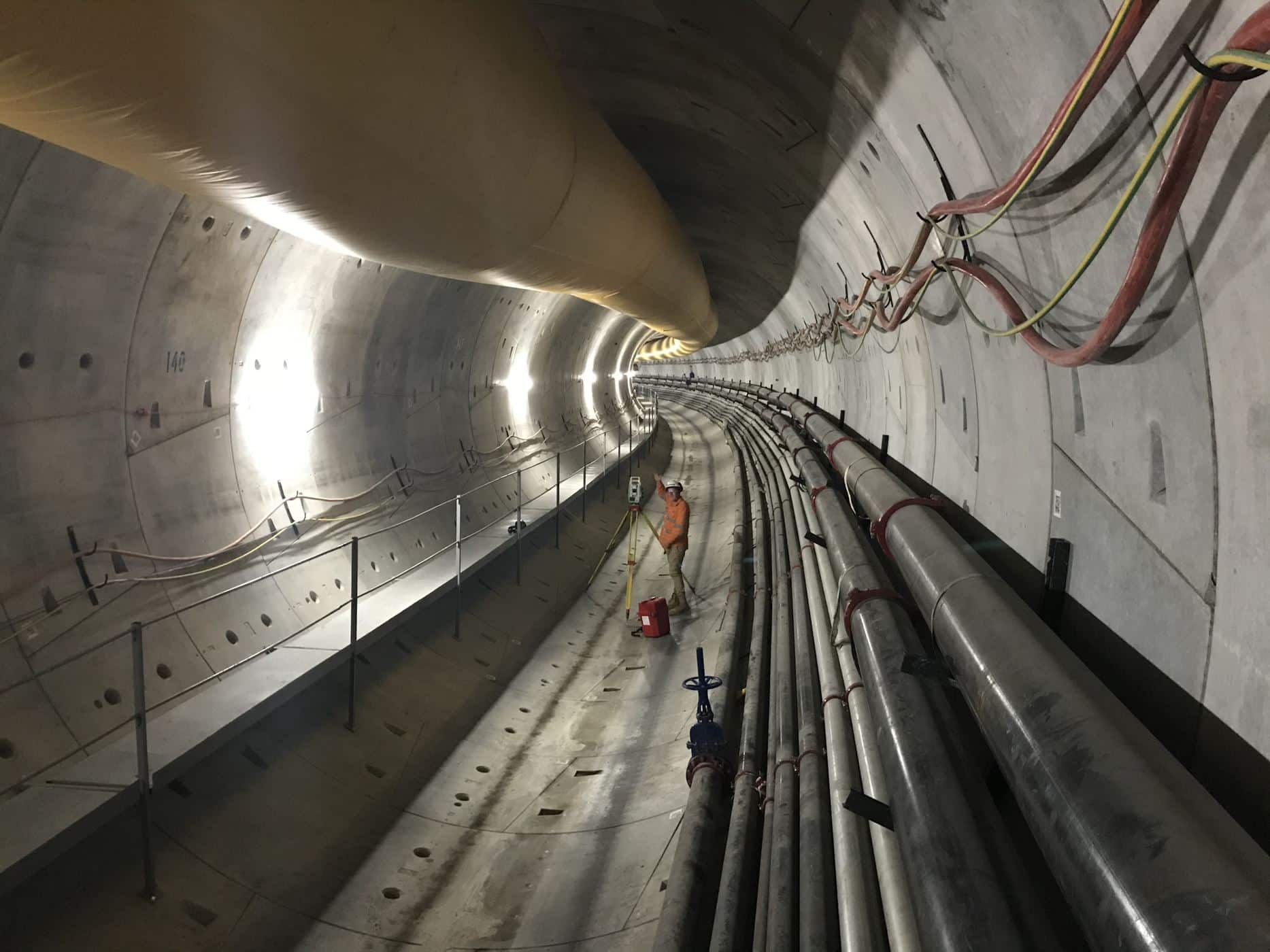
I&M entails the installation of systems to measure structural, geotechnical and environmental effects. These can range from simple manual measurement and single sensors, to complex, fully automated systems with thousands of sensors and measurement points. The process is broken down into stages to suit the lifecycle phase of a project and include:
- I&M system design;
- sensor choice and method of measurement;
- installation, calibration, communications and baseline readings;
- assigning monitoring frequencies, trigger values and reporting; and
- data management, analysis and visualisation.
Utilising Instrumentation and Monitoring (I&M)
I&M systems are deployed for construction projects or on operational assets to measure the effects or performance against design, and detect events that may cause risk. They act as an early warning system: allowing decisions to be made to adjust design and construction work, and to mitigate the potential impacts to existing infrastructure, plant structures and – vitally – worker safety.
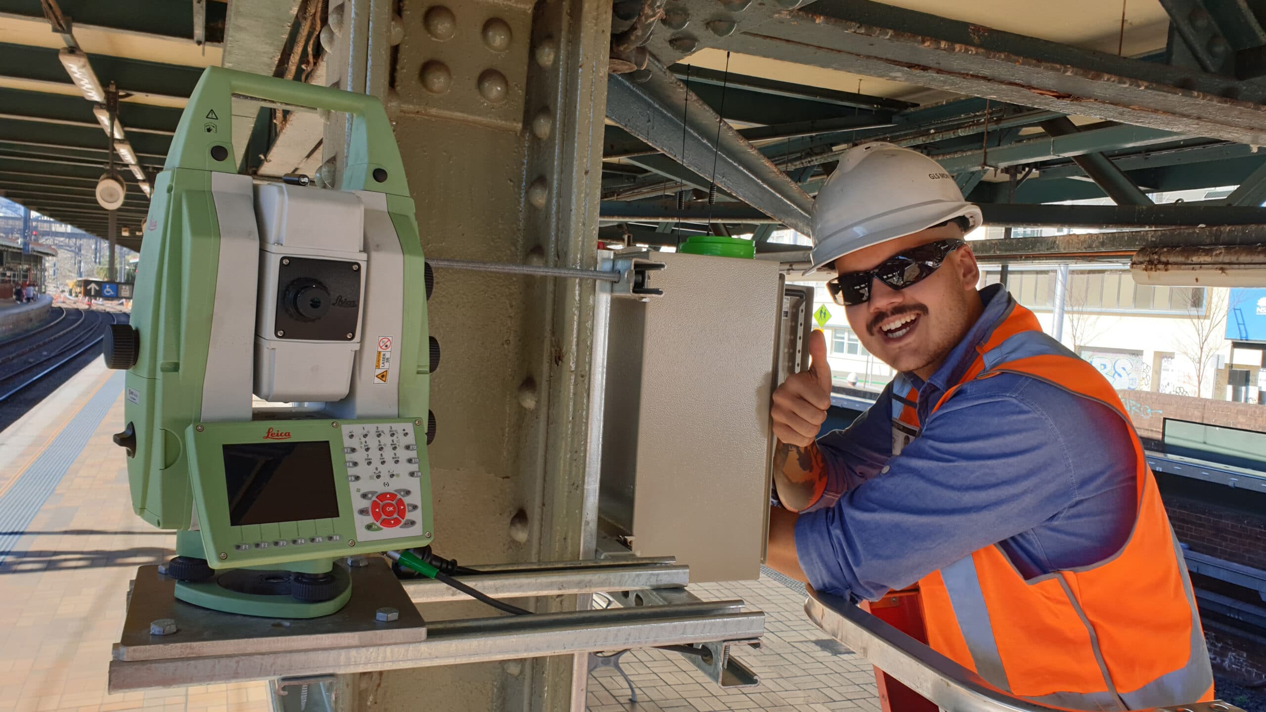
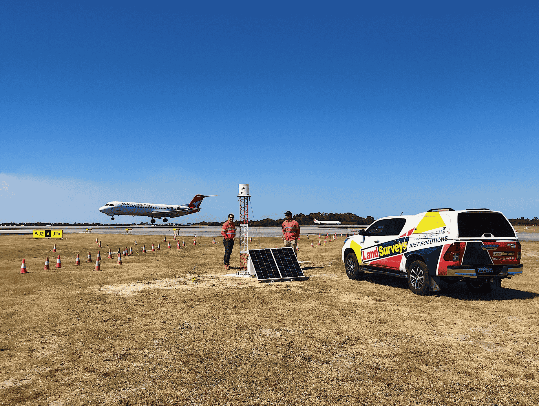
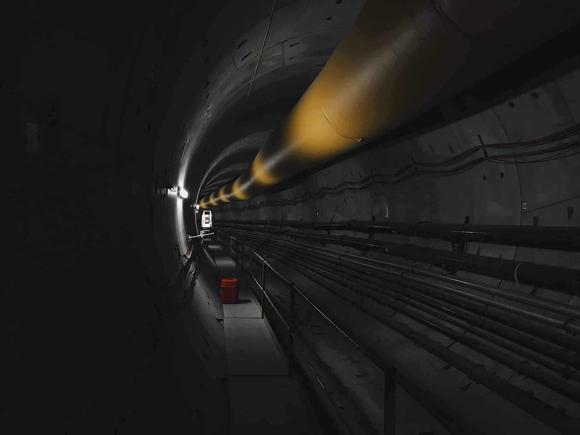
Land Surveys specialises in the design of fit for purpose solutions that combine geospatial, geotechnical and environmental sensors and telemetry to measure and visualise the changes that matter. These sensors include:
1. Crackmeters
2. Settlement monitoring
3. High-accuracy GNSS
4. Extensometers
5. Strain gauges
6. Precise digital levelling
7. Inclination sensors
8. Temperature sensors
9. Water meters
10. Jointmeters
11. Weather stations
12. Water monitors
13. Load cells
14. Optical displacement
15. Wireless networks
16. Piezometers
17. Sensors
18. Tilt sensors
19. Pressure cells
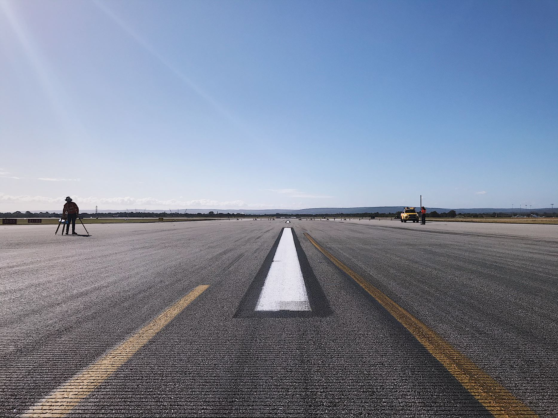
20. Total stations (ATS)
21. InSAR
Data collected via I&M is managed, analysed and visualised in a cloud-based central platform readily accessible by clients. The data is updated in close-to-real time, thereby allowing clients to set alert levels, generate reports and make critical decisions with confidence based on what the data actually reveals.
The benefits of Instrumentation and Monitoring (I&M)?
It is vital that clients understand and observe movements that client, designers or operators deem to be of critical importance.
Providing accurate and precise monitoring systems that deliver data representation, analysis and interpretation of results is essential. It allows Land Surveys and its clients to understand the relationship between the activities of an asset or asset under construction and any potential related deformation movement. The information collected and visualised for interpretation and understanding, provides the following benefits:
- lifecycle planning and preventative maintenance of assets;
- movement trend analysis to confirm behaviours and design model predictions;
- preparation of safety cases;
- safeguarding of existing buildings and other adjacent facilities;
- assurance to relevant stakeholders; and
- value for money while simultaneously delivering added value.
What challenges can Land Surveys solve with I&M?
For construction projects, Instrumentation and monitoring allow the constructor to quantify impacts of construction, which can assist in assessing any damage claims from 3rd parties. It also provides assurance to owners of adjacent infrastructure that the impacts of construction are within predicted and acceptable limits as designed.
The measurement of ground displacements, stress and strain of supports, vibration, ground water and movement of structural elements are constantly checked against predicted behaviour and assumptions.
Instrumentation and Monitoring is an essential component the modern design, construction and risk management of construction projects and long term management of critical assets, enabling cost and time savings, while maintaining an acceptable level of safety.
Why choose Land Surveys for your I&M?
Land Surveys, with a global supply chain and a joint- venture strategic alliance with specialist geotechnical instrumentation company, Geomotion, continues to deliver for Australia’s mega projects. These include Melbourne Metro; Sydney Central Station; Forrestfield Airport Link (Metronet) in Perth; Brisbane Cross River Rail; and Brisbane Metro.
Contact Us
Land Surveys has a team with a wealth of knowledge and experience to undertake any Instrumentation and Monitoring (I&M) you require. For more information on our Instrumentation and Monitoring (I&M) services, contact us today on 1300 526 378