Geographic Information Systems (GIS)


What are Geographic Information Systems?
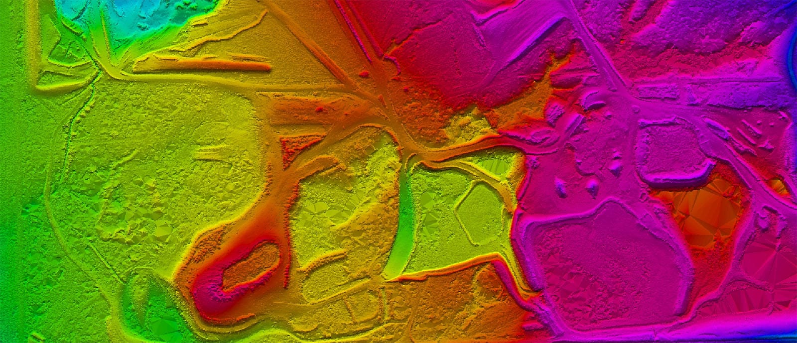
Geographic Information Systems (GIS) provide a utilitarian framework for collecting, managing, and analysing geospatial data. GIS are often used on a macro scale in the management of local precincts, councils, cities, or urban and rural regions. The use of the GIS framework provides deeper insights into data to assist stakeholders to make better-informed decisions in managing assets under their control.
How Geographic Information Systems work
When utilising GIS software and associated databases, users can open, overlay, and interrogate a range of public and private geospatial data sets. These may include datasets for property boundaries, road and highway networks, zoning maps, tree locations, satellite imagery, energy networks, public transport patronage, crime statistics and multiple others.
By comparing and running analytics algorithms against these various datasets, results and trends can be identified to support stakeholders in their current decision making and forecasts for future decision making.
Utilising Geographic Information Systems
The GIS data has numerous practical applications. The following are typical examples of how GIS are used to affect in real-life situations:
- Mining companies use mining lease boundaries and current mine operation data to monitor interaction with environmental and cultural boundaries as part of their license to operate.
- Transport and logistics companies utilise road networks maps in conjunction with traffic reporting and roadworks plans to optimise route planning for their drivers and vehicles. This reduces drivers getting lost or taking unnecessary, longer routes or routes undergoing major delays.
- Natural disasters such as bushfires and floods can be better managed by responding agencies via centralised data harvested from all utility providers and emergency response teams, in conjunction with updated satellite and aerial imagery.
- Property development businesses use land zoning, previous sale pricing, education, and transport infrastructure maps to identify optimal locations in which there is a viable market for development of new housing projects.
Benefits of using Geographic Information Systems
One of the most significant benefits of utilising GIS is that they are highly visual in nature. The GIS framework provides for the translation of text and numerical data into elements that can be represented on a digital map. This, in turn, helps non-technical users to understand complex data in a simplified way, thereby broadening their understanding of the subject under scrutiny and assessment.
Solve challenges with Land Surveys’ Geographic Information Systems Data
Land Surveys utilises bespoke GIS data capture from specialised disciplines within the group and presents this in conjunction with clients and public data sets. Our team can also assist in undertaking analysis of the geospatial data to derive incisive, useable insights and intelligence.
Why choose Land Surveys for your Geographic Information Systems requirements?
Land Surveys works closely with clients to understand what drives their projects and their organisational success.
We listen, understand, and then apply geospatial tools such as GIS to generate the outcomes clients want. Our data specialists work with you to solve your particular problems, applying the right fit-for-purpose solutions. Find out more about us here.