Exploration & Site Surveys


What are exploration and site surveys?
The accurate and verifiable location of a mineral resource is instrumental in the planning and execution of its subsequent extraction. By accurately setting out drill holes and surveying the actual location of those holes (coupled with associated data) a mining company can make decisions on the quality, quantity and extent of its resource.
Exploration leases, mining permits and active mines can often change owners and in some cases the central mapping data is lost in the transition. In the case of old sites, it may never have been obtained. Land Surveys surveyors can readily perform site surveys so that new owners can generate plans for location of infrastructure, services, tracks and roads, clearings, mine openings, waste dumps, revegetation and areas of heritage significance.
What do exploration and site surveys entail?
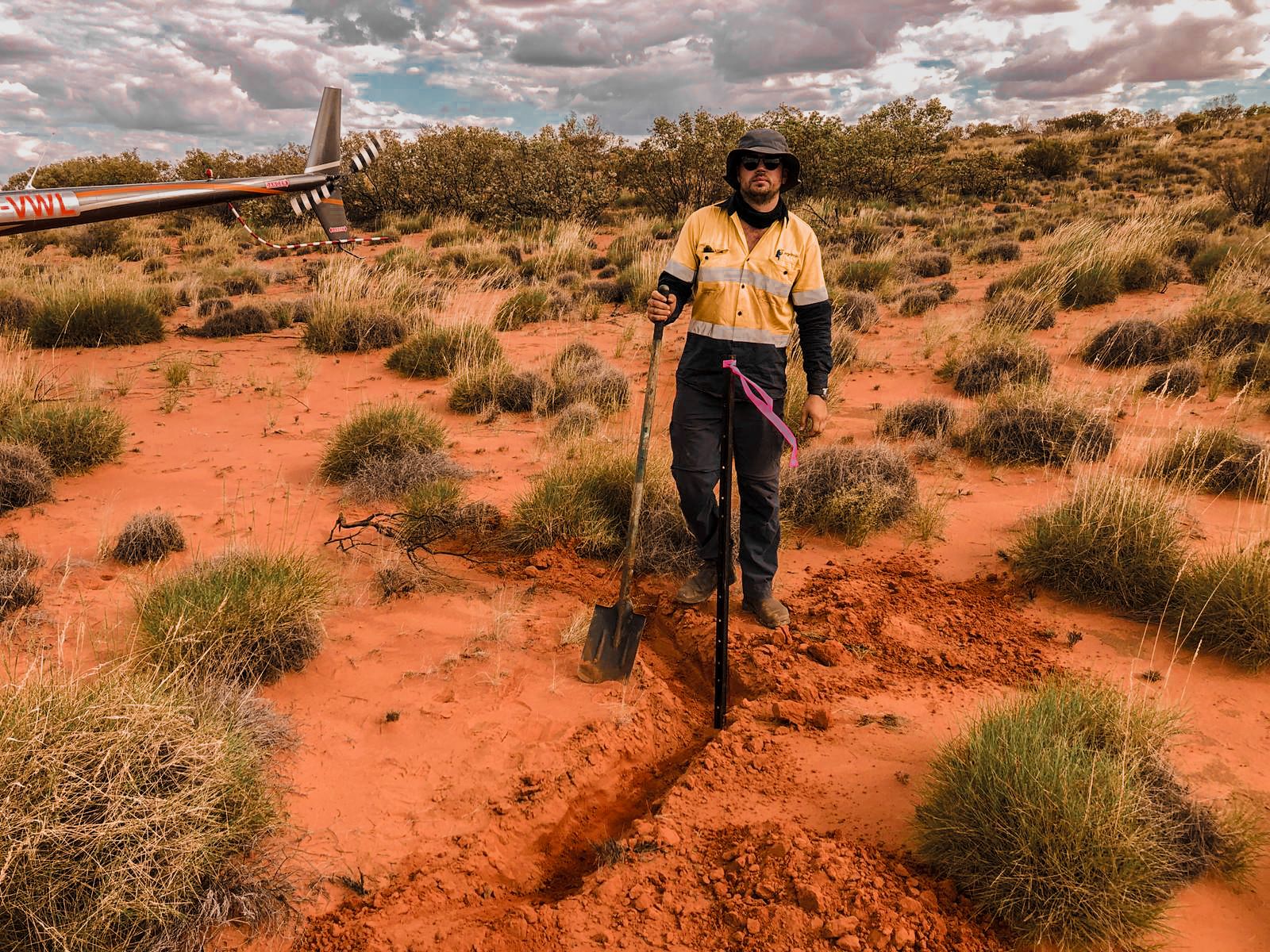
Land Surveys surveyors scope out the works required and identify the best of current technologies to utilise for an exploration or site survey. Given our long-standing experience we can estimate how long a project will take and the tools needed to accurately estimate costings for the project. Our staff fly or drive (or both) to sites to undertake the works before providing the vital digital data and survey reports on completion.
How are exploration and site surveys utilised?
The positioning of exploration holes is used in resource modelling and, in tandem with resource grade information, a mining company can decide on progressing to mining and, if it does, decide on the best way to begin based on the shape and location of the resource to the surface.
Site surveys involve 3D location of the non-resource infrastructure at a mining project. These are used for planning (for example, where to place a crib hut for maximum efficiency of load/haul/dump crew), for conformance maps for clearance areas, or potential location of solar farms. Additionally, it is critical to know where all electrical and water utilities are located on site, especially if they are underground.
Accurate site surveys are required for submission to relevant State government departments and current updates may be requested at any time from these organisations. In any event, updates are required at the beginning, suspension, or cessation of mining.
What challenges can Land Surveys solve with exploration and site surveys?
- We can liaise with State government departments to obtain historical data for areas of social, environmental and heritage interest.
- We have a variety of in-house resources to undertake, to acquire and to report on exploration surveys and site surveys.
Why choose Land Surveys for your exploration and site surveys?
- Land Surveys streamlines the exploration process for your project. We use the latest global navigation satellite system (GNSS) receivers with high-powered radios to provide extended survey coverage for surface exploration drilling programs.
- We conduct site surveys that indicate the locations of existing site infrastructure which includes underground services such as power, water, and communications. Our highly qualified team comprise licensed and registered surveyors readily available to undertake lease and easement boundary pegging projects.
- Our high-resolution (0.035m resolution) aerial imagery general by unmanned aerial vehicles (UAVs) can be exploited for accurate mapping and discovery of geological structures and outcrops.
- Our team members are highly experienced at working in demanding and remote outback environments and do so in a safe and efficient