Contour / Feature / Topographic Surveys
What are contour surveys?
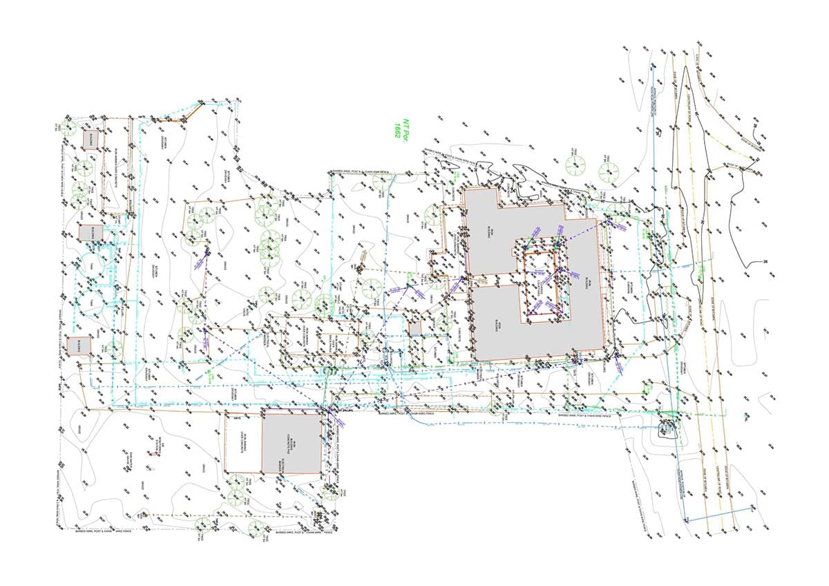
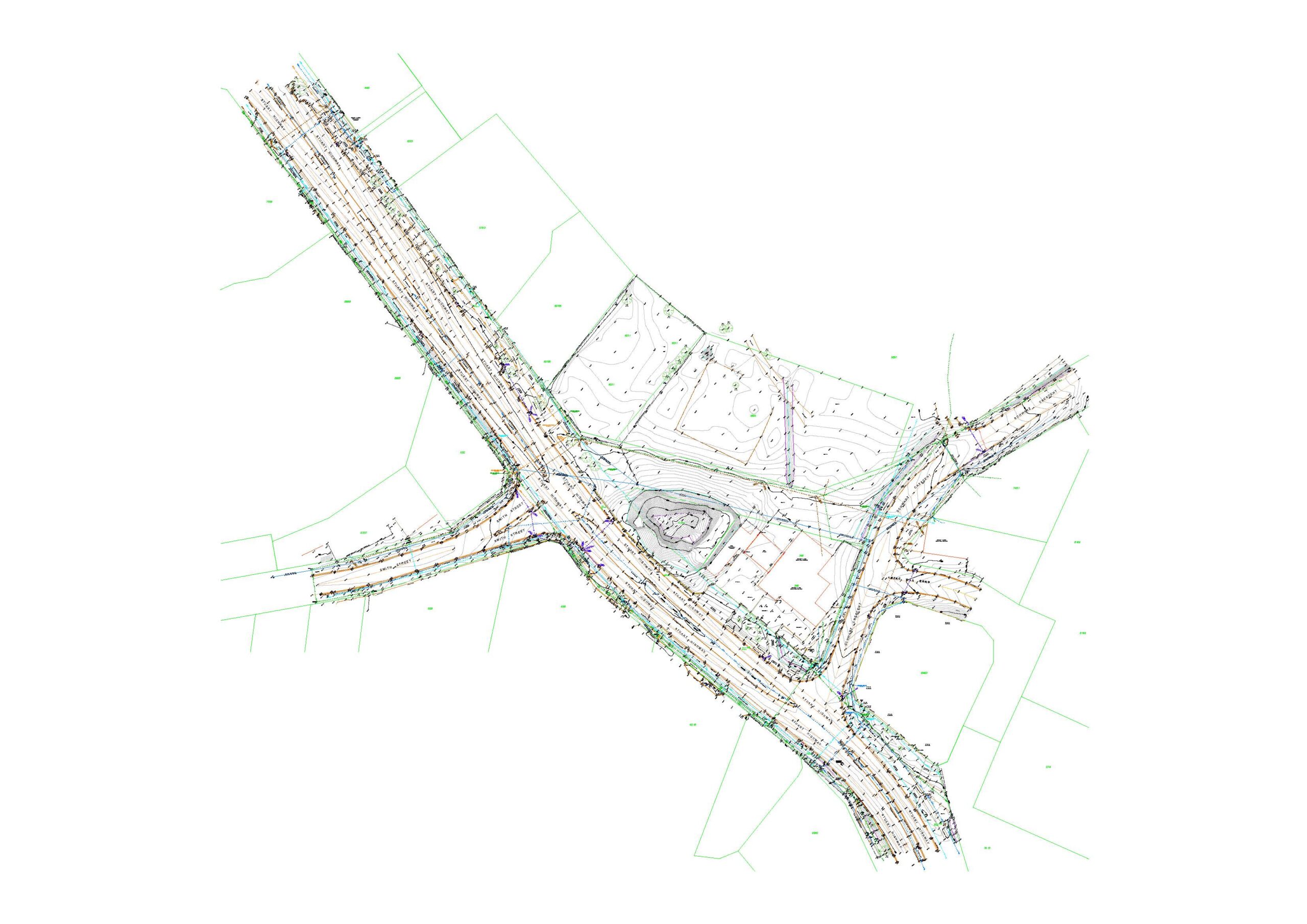
Contour surveys – also known as site surveys, detail surveys or feature topographic surveys – detail all noteworthy features relevant to a particular site. They include positions of buildings, trees, sewerage, drainage, communication pits, other visible service pits, roads, driveways, special features and levels across a property. These surveys can be used as the base plan for subdivision designs to maximise lot yield.
When contour surveys are required
- feature surveys are often a common starting point for planning a new land development or construction, whether residential or commercial;
- to maximise your lot/site yield;
- councils, architects, engineers and builders use contour/site surveys to assist in building applications, landscaping designs and subdivision proposals;
- a professionally drafted plan records all noteworthy features on a property; and
- a successful project requires an accurate, informative and well-presented plan.
Utilising contour surveys
Our professionally drafted plans record the following key elements:
- terrain levels (AHD or arbitrary);
- contours at 0.5-metre (or other required) intervals;
- datum level on site;
- building footprint and floor levels;
- utility services (drainage, gas, power, sewer, telephone and water);
- adjacent property details and floor levels;
- street and verge features (crossovers, kerbs and footpaths);
- trees and vegetation;
- fences (types, heights and condition);
- walls (types and heights);
- boundary information and easements; and
- other existing and noteworthy structures.
Deliverables:
Our feature surveys can be tailored to meet client-specific requirements. We offer a wide variety of industry recognised CAD file formats including:
- 2D AutoCAD DWG files (3D available on request);
- PDFs of digital data;
- water and sewerage plans; and
- cadastral plans.
Why choose Land Surveys for your contour survey requirements?
Land Surveys combines the latest in surveying technology with its highly skilled staff to deliver cost-effective, high-accuracy surveys in both hard-copy and digital mediums, tailored to meet clients’ exacting requirements.
Our Land Development team has extensive experience and expertise to advise you on your best land-use options and can guide and assist you through the entire development process.